Thursday, June 25, 2015

Little things along the C Trail 23 JUNE 2015

I usually take photos of larger vistas, so to change things up I decided to take some photos of local plants that adorn the edges of the C Trail. I've been musing on some things, and it's true that as far as things are simple or ideal, they are imaginary. Everything that exists is ridiculously complicated at every scale, and our brains simplify things into our maximum expanse of mental incompetence. I mean, just reflect on the complexity of the leaves, and then consider how complex each tissue, and cell, and soforth really is. I'll leave you to consider that.

At this time of this year, Jupiter and Venus are in close proximity in the night sky.

And the juniper trees are getting frisky with each other in slow motion.


Cicadas have shed their skins, and climbed up higher. They're noisy buggers, and a few urinated on me from above. Not cool.


Prickly pears are also in season.


Sunday, June 14, 2015

Hike up Ashdown Creek, June 13th, 2015

Located at 37.631241, -112.932158. Ashdown Creek is a wide slot canyon in Cedar City. I was recommended to check it out by my buddy Jason Murray, who runs the Pizza Cart in Cedar City. Thanks Jason!

Getting into and out of the river is probably the most challenging part. There's a big landslide hill that has to be traversed, and it takes plenty of strategic limb-placement and balance control to get down without causing more landslides.

A few hundred feet up the river, I gave up on any hopes of keeping my feet dry. I was wearing my grippy, cheap Nevados, and it's a good thing I did. Going upstream means keeping the feet aimed up-river and walking sideways to ford the river (to make sure your feet don't get swept out from under you), which can be a few feet deep in some spots. There walls are typical pocked sandstone, but the river is filled with all sorts of rocks. Concretions, agates, lava and a peculiar burnt carboniferous ash fill the area. Fossils, too; mostly spiral snail shells, old clams and flattened oysters, along with cakes of micro-fossils.
This is typical of the hill up and down; it is very treacherous.
I used this log as my first and last bridge, before giving up on the dryness of my socks.

The fine gravel was most dangerous in the river; larger gravel was easier to stand on.

The peculiar turret-shape of the tower on the mid-left grabbed my attention.


Tiny pebbles are strewn through the water, and the longer you ford, the more tiny stones will appear in your shoes, and then hamper your movement.

At the mouth of the slot canyon, wildly pocked sandstone walls decorate the vertical views.

What an odd formation.

I only made it this far before determining that limited daylight was of concern.


These sandstone walls in Ashdown Creek almost look like castles.


This looks rather like the moorings of a bridge. The forces that carved the canyon made a mockery of whatever this was.

Making it back towards the car. The steep, crumbling slopes were much harder after being exhausted by fording rapids.
All in all, this was incredibly enjoyable and very cheap; only 8 miles into the canyon of Highway 14, and parking is abundant at the large gravelly turnoff just prior to the intense vertical walls of the road. It's easy to find. Ashdown Creek will definitely test your endurance.

Saturday, June 13, 2015

Angel's Landing, June 6th, 2015

I moved to southern Utah ten years ago, almost to the day. I am an awfully ignorant fellow, and had never heard of Angel's Landing. It is sort of a rite of passage to locals, and I understand why this is so. I have gone up it repeatedly, but never made it past Scout's Landing before.The journey is short, merely an afternoon's hike. The end is the hard part.
To get there you can drive in or take a bus, and then, crossing a bridge, you take the right-hand of the path. A long, paved path comprises the majority of the journey, and on Saturday it was inundated with people from all over the world. It is a narrow path that cuts into the mountain, curves northward into a gulley, and scales the side with multiple switch-backs. A short, intense set of them is named "Walter's Wiggles"; a disarmingly lighthearted moniker, given their intense grading. At the apex you're dumped onto a dirt path, which goes from dirt to angled sandstone, and this is where the fun really begins. I cannot emphasize enough the need for good, grippy footwear. The sandstone is often covered in a fine layer of loose sand, and it is very easy to lose footing. In several spots there is a chain that you can grab onto for support, but with so many people in the path it was very easy to form traffic jams. There are many spots where using the chain is actually counter-productive; and in those places it is better to scale the rock face with fingers and toes. To complete the path all the way to Angel's Landing, there is a very narrow, vertical land bridge that requires strong legs and decent endurance. Notably there are spots along this path that really demand upper-body strength to scale.

Of note, I am normally terrified of heights, but I deceived myself with a little narrative: "I'm just a rat on a staircase in a big mansion. Yes, just a rodent looking for crumbs on the stairs." It really worked at helping me obviate fear.

I would like to thank Brian Heritage for joining me on this adventure. He definitely helped keep the mood elevated.


That narrow land-bridge is absurd.


Note the perspective drop on the left.


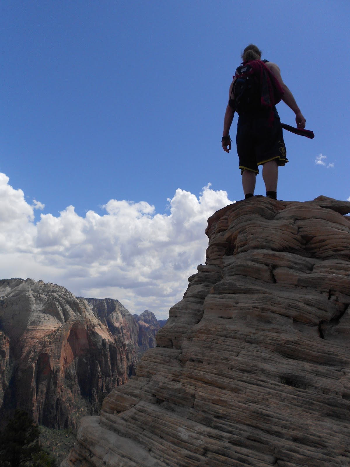
Brian is courageous, but a little crazy.


Acoustics here were excellent.


My grimace needs work.


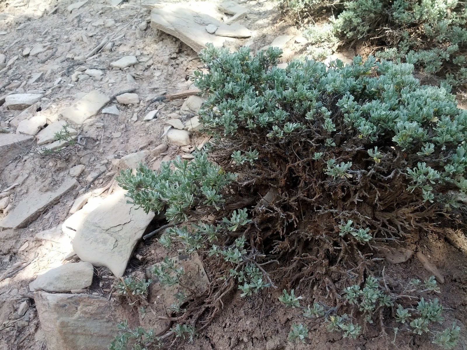
The wildlife is extremely fat and tame.


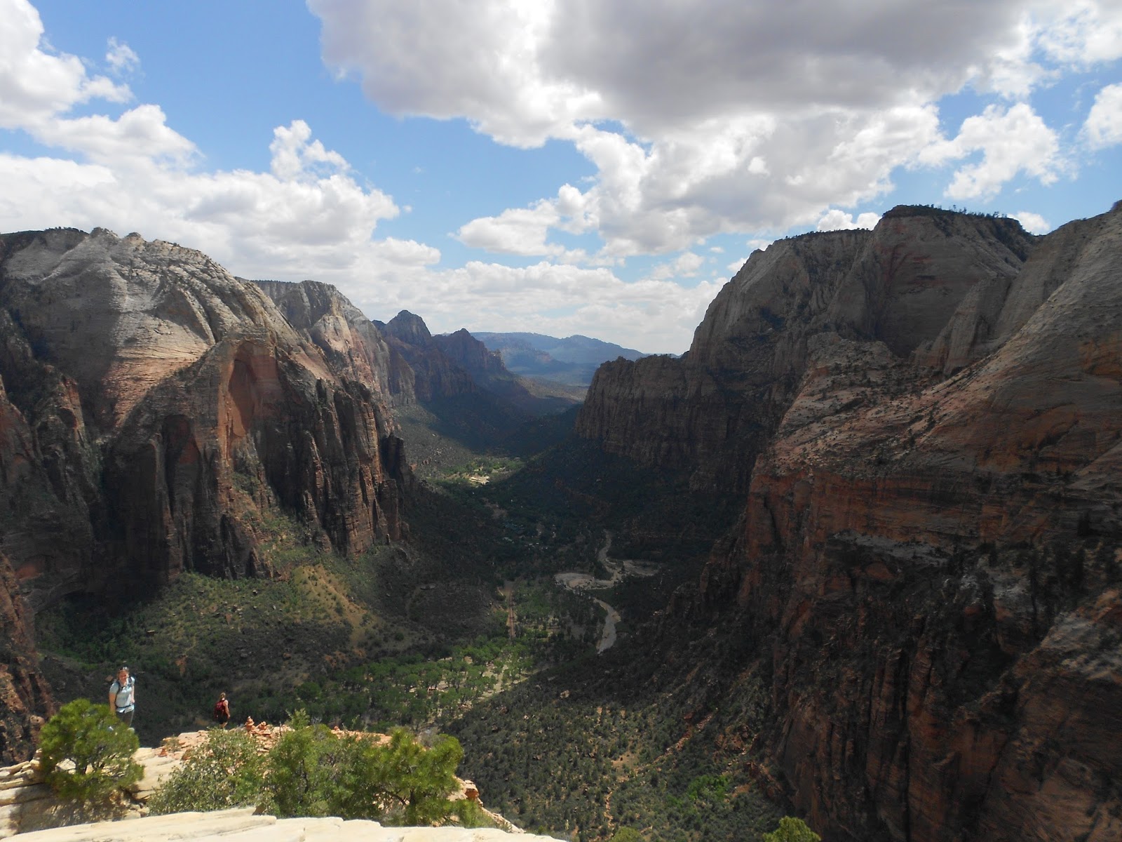
That peak is the goal.


Very close to the edge.

Nailed it.