Thursday, May 28, 2015

Night Hike 27 May 2015: C-Trail

Last night I tried something I hadn't done in a number of years: a proper night-hike. Since I was a little rusty, I chose a very familiar trail: the C-Trail on Cedar Mountain. I left at 8:10.


Made it to the monolith at 9:15. 2.5 miles up.

Cedar City below looks very close.


While the camera couldn't make out the path, the dim moonlight was enough to cast shadows, and I could still see a bit.

I borrowed a 500 lumen flashlight from a friend; and it worked very well.


Just through the copse of trees, Cedar City looks almost like a cozy fire, quite near.

Made it back down in about 1 hour. An old, familiar trail was made freshly exciting by night.

Sunday, May 17, 2015

Selenite and Petroglyphs

Today I went with some friends to the glittering pit of selenite in Arizona 36.978438,-113.463699, and followed up with a trip up a ridge to see some petroglyphs in Cedar. They were only slightly complicated to get to, basically in a straight line but with the requirement of following specific landmarks.


To the petroglyphs in Cedar, up Highway 14, across from the western tan water tower near the mouth of the canyon. I think we parked at 37.674095, -113.045556


Up a brutal ridge, which tested my fear of heights like a champ. Slippery with all that gravel. 37.675602, -113.045518
 Google Maps does not reveal just how steep the sides are.
Brian and Matt traipse across the landscape. Those striations in color help identify the location.

The rocks ahead lay in question, approximately at


I think this is at 37.682391, -113.046531, but I'll double-check later.
(Using the last image, I think this is at 37.683389, -113.046495)

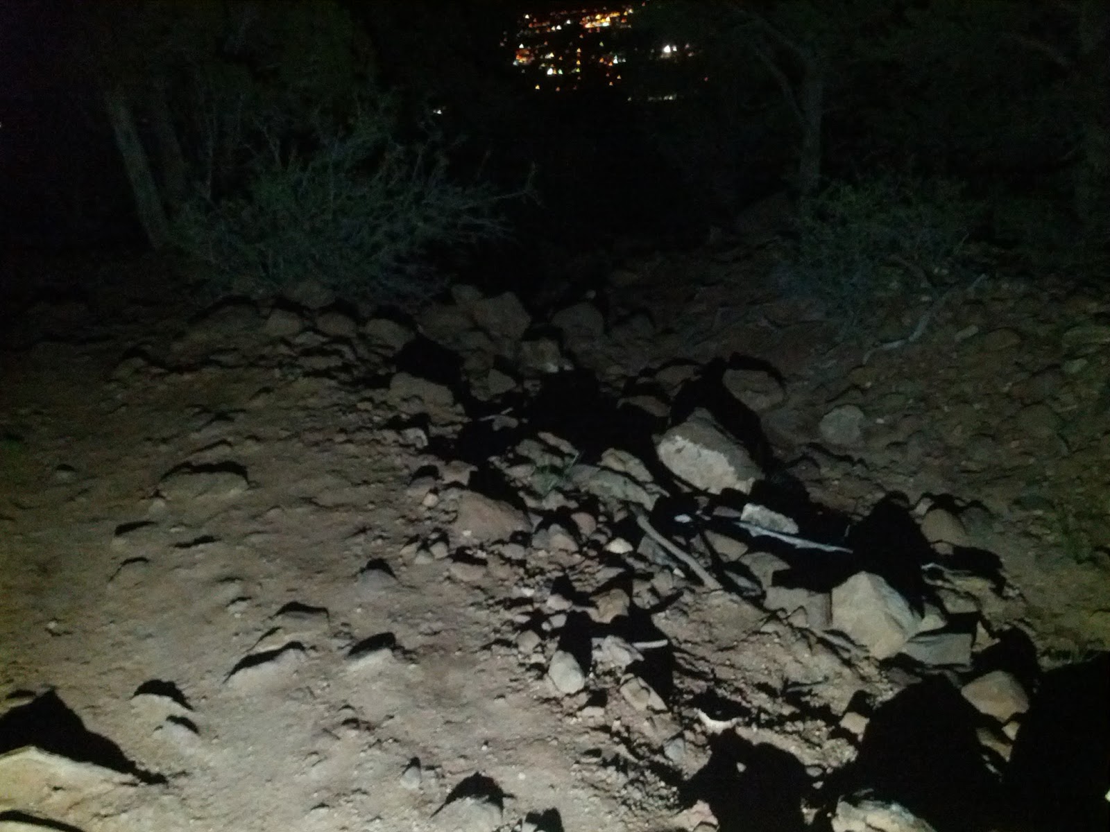
Behind the rock barrier, one finds the glyphs.


Mathew provided a possible translation document.

The scene overlooks the valley floor. Perhaps these images could be used to triangulate the location. Next time, I will use use global positioning. This is ridiculous.

Hike 16 May 2015 up Spring Creek

Starting at 37.522351, -113.184259, on the south end of Kanarraville, Utah, there is a canyon trail much like the Kanarra Falls, but it's a little dryer and more appropriate for families with younger kids. Speaking of which, my friends Erin and Pat brought their kids along with me and my friends Brian and Jason. On this venture we only went in about a mile, slowly. The ground was soft but not muddy, and the clouds were threatening a little drizzle, but nothing menacing.


Saturday, May 9, 2015

Drive up Highway 14 on a foggy evening

Today I was stuck indoors most of the day working. The weather has been uncharacteristically cold, and a little snowy. I took a last-minute opportunity up Highway 14, and the fog did not disappoint.